The PDF That Decides Your Commute
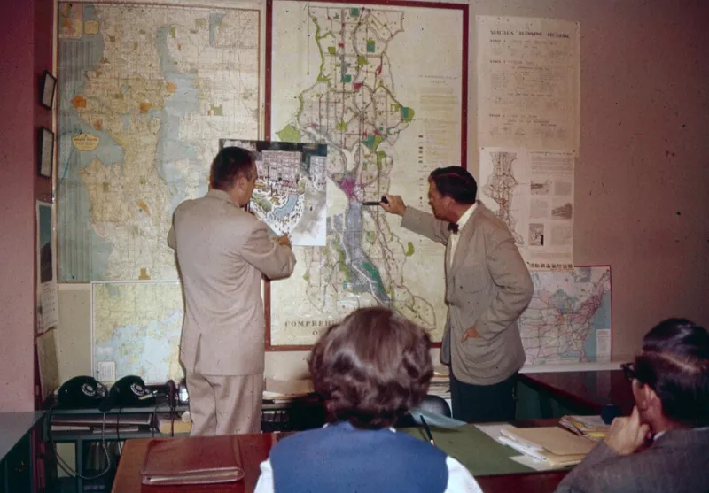
Photo: Seattle Municipal Archives from Seattle, WA, CC BY 2.0, via Wikimedia Commons
The most important document about your neighborhood is probably a 180-page PDF with a file name like comp_plan_draft_v7.pdf. It is online. It is public. It is almost certainly unread by most people who will be affected by it.
That’s not a knock on your neighbors. It’s a description of how local government actually works. The document is long, technical, and written in the language of land-use planning. It doesn’t go viral. It doesn’t get a push alert. But it decides a lot: where housing can go, how wide the roads should be, whether there’s a sidewalk on your street, and how far you’ll drive to buy milk in 2035.
The Meeting With Empty Chairs
The comprehensive plan gets adopted at a public hearing. Usually it’s the planning commission, then the city council or county board. There’s a PowerPoint. There’s a sign-in sheet. There are maybe a dozen people in the room, and half of them are paid consultants or staff.
The low turnout isn’t because the plan is unimportant. It’s because the plan is boring in the way that only long-term decisions can be boring. A rezoning for a specific apartment building will pack a room. A 20-year blueprint for the entire town will not. But the blueprint is the thing that makes the apartment building possible — or impossible.
What a Comprehensive Plan Actually Does
A comprehensive plan — sometimes called a master plan or general plan — is the city’s long-range vision for land use, transportation, housing, parks, utilities, and economic development. It doesn’t usually rezone anything on its own. But it sets the future land-use map, and that map becomes the basis for the zoning code, the capital improvement budget, and the transportation projects that follow.
In other words, it’s not just a vision statement. It’s a permission structure. If the plan says an area is meant for low-density residential, it’s hard to build a corner store there later. If it says a corridor is meant for higher density, it’s easier to add apartments, transit, and sidewalks. The plan doesn’t pour the concrete. It decides where the concrete can go.
The Commute Is a Land-Use Decision
We tend to talk about traffic as if it’s weather. It’s not. It’s the predictable result of where people live, where they work, how far apart those places are, and whether there’s any alternative to driving.
A comprehensive plan decides whether new housing goes near jobs or on the edge of town. It decides whether a road gets widened or a bus route gets funding. It decides whether parking minimums force every new building to include a sea of asphalt. Those choices are made years before the first traffic jam.
That’s why the plan is a technology story as much as a politics story. It lives in PDFs, GIS layers, and online agenda packets. The data is public, but it’s not exactly user-friendly. The people who know how to read a future land-use map have a real advantage over the people who don’t.
The Document Is Already Online
Here’s the good news: you probably don’t need to file a records request to find it. Most cities and counties post their comprehensive plans, zoning codes, planning commission agendas, and staff reports on their websites. Some have interactive maps. Some have email alerts. Some still bury the PDF three clicks deep under “Departments > Planning > Long Range Planning > Documents.”
Start with the future land-use map. That’s the one-page version of the whole plan. Then look at the transportation element and the housing element. Those are where the commute and the rent live. If you have time, check the capital improvement plan — the list of projects the city actually intends to pay for. A plan without funding is a wish list. A plan with funding is a construction schedule.
The Time Capsule Problem
Comprehensive plans are updated every 10 to 20 years, with amendments in between. That makes them time capsules. The decisions made in a low-attendance hearing in 2026 can shape the neighborhood through 2040. And because the plan is hard to amend, the default is often the status quo.
That’s not inherently bad. Stability matters. But it means the most consequential votes in your community often happen in a planning commission room with empty chairs, not at a packed city council meeting about a single project. The single project is the symptom. The plan is the cause.
How to Read It Without Reading All of It
You don’t have to read 180 pages. Read the future land-use map. Read the goals and policies section for housing and transportation. Search the document for your street name. And check the public comment deadline before the next hearing. If you can’t attend, email the planning department. If you can attend, bring a neighbor.
The PDF is already online. The meeting is already scheduled. The only question is whether anyone shows up before the file name becomes a fact.